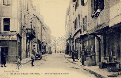
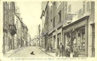
Rue Théophile-Roussel - La Mairie à Saint-Chély-d'Apcher (Lozère)
Voir les 250 cartes de Saint-Chély-d'Apcher — carte 9 sur 250
- Commune
- Saint-Chély-d'Apcher (48140)
- Département
- Lozère (48)
- Région
- Languedoc-Roussillon
- Légende
- « 5. - SAINT-CHÉLY-d'APCHER (Lozère), alt. 1004 m. — Rue Théophile-Roussel - La Mairie »
- Éditeur
- Édition Thèret
- Image
- 1100 × 713 px
- Référence
- n° 98945 — 48140_St-Chely-d-Apcher_0005_VIDP_