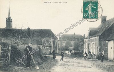
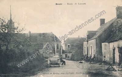
Rue Principale à Bouër (Sarthe)
Voir les 3 cartes de Bouër — carte 3 sur 3
- Commune
- Bouër (72041)
- Département
- Sarthe (72)
- Région
- Pays-de-la-Loire
- Légende
- « Bouër (Sarthe). — Rue Principale »
- Éditeur
- Thototypie J- Bouveret, Le Mans
- Image
- 1100 × 706 px
- Référence
- n° 59201 — 72041_Bouer_x225_BUSC_
- Saint-Maixent 11
- Lavaré 7
- Le Luart 14
- Sceaux-sur-Huisne 10
- Villaines-la-Gonais 4
- Vouvray-sur-Huisne 3
- Dollon 9
- Lamnay 7
- Semur-en-Vallon 7
- Vibraye 186
- Saint Hilaire le Lierru 1
- Saint-Jean-des-Échelles 6
- Champrond 2
- Saint-Michel-de-Chavaignes 5
- Thorigné-sur-Dué 6
- Tuffe 8
- Saint-Aubin-des-Coudrais 1
- Cherré 3
- Courgenard 2
- Connerré 14
- Coudrecieux 10
- Cormes 5
- La Ferté-Bernard 27
- La Bosse 1
- Melleray 5
- Montmirail 25
- Prévelles 1
- Le Breil-sur-Mérize 9
- Nuillé-le-Jalais 2
- Gréez-sur-Roc 10
- Berfay 7
- La Chapelle-Saint-Rémy 3
- Bouloire 8