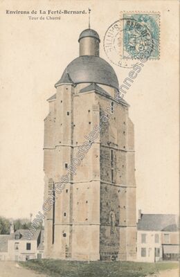
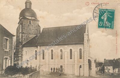
Carte postale ancienne de Cherré (Sarthe)
Voir les 3 cartes de Cherré — carte 1 sur 3
- Commune
- Cherré (72080), aujourd'hui Cherré-Au
- Département
- Sarthe (72)
- Région
- Pays-de-la-Loire
- Légende
- « 1812. Environs de LA FERTÉ-BERNARD (Sarthe) — Vue Générale de Cherré »
- Éditeur
- IMP-PHOT: A. DOLBEAU, LE. MANS
- Image
- 1100 × 709 px
- Référence
- n° 59280 — 72080_Cherre_1812_BUSC_
- La Ferté-Bernard 27
- Cormes 5
- Courgenard 2
- Saint-Jean-des-Échelles 6
- Saint-Aubin-des-Coudrais 1
- Villaines-la-Gonais 4
- Lamnay 7
- Ceton 6
- Dehault 2
- Théligny 4
- Saint-Maixent 11
- La Bosse 1
- Bouër 3
- Sceaux-sur-Huisne 10
- Gréez-sur-Roc 10
- Saint-Ulphace 3
- Champrond 2
- Mâle 1
- Saint-Bomer 9
- Saint Hilaire le Lierru 1
- Melleray 5
- Montmirail 25
- Les Étilleux 8
- Tuffe 8
- Vouvray-sur-Huisne 3
- Le Luart 14
- Lavaré 7
- Prévelles 1
- Vibraye 186