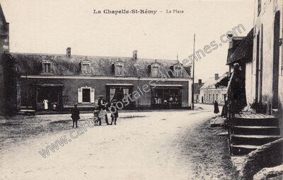
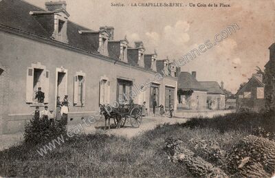
Route de Lombron à La Chapelle-Saint-Rémy (Sarthe)
Voir les 3 cartes de La Chapelle-Saint-Rémy — carte 2 sur 3
- Commune
- La Chapelle-Saint-Rémy (72067)
- Département
- Sarthe (72)
- Région
- Pays-de-la-Loire
- Légende
- « LA CHAPELLE-SAINT-RÉMY — Route de Lombron »
- Éditeur
- Photo C. Blin Bonné able
- Image
- 1100 × 700 px
- Référence
- n° 59249 — 72067_La-Chapelle-St-Remy_x001_SCHJ_
- Tuffe 8
- Montfort-le-Gesnois 10
- Prévelles 1
- Saint Hilaire le Lierru 1
- Connerré 14
- Vouvray-sur-Huisne 3
- Saint-Corneille 1
- Saint-Mars-la-Brière 3
- Soulitré 7
- Bonnétable 18
- Le Breil-sur-Mérize 9
- Nuillé-le-Jalais 2
- La Bosse 1
- Thorigné-sur-Dué 6
- Sceaux-sur-Huisne 10
- Le Luart 14
- Savigné-l'Évêque 7
- Ardenay-sur-Mérize 1
- Champagné 20
- Villaines-la-Gonais 4
- Saint-Aubin-des-Coudrais 1
- Dollon 9
- Saint-Michel-de-Chavaignes 5
- Bouër 3
- Saint-Aignan 1